KET
Products & KETs > ERSEC
Multisensor precise localisation system for safer and autonomous vehicles

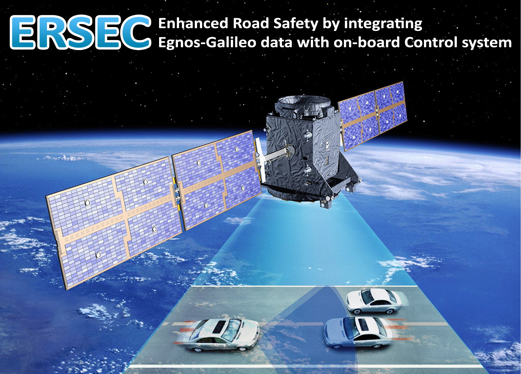
ERSEC is a precise on-board vehicle localisation system – through data-fusion of GPS-EGNOS, GIS, environmental and vehicle dynamic sensors, and possibly V2X information – to be used for collision avoidance and automatic guidance of vehicles.
ERSEC is able to output the position on the road map of the equipped vehicle and of all the obstacles (such as other vehicles, peoples and any kind of fixed or mobile objects) around it with a measurement accuracy of the order of 0.1 meter at a sampling rate of 100 Hz through an intelligent data-fusion of the EGNOS/GNSS data - correlated to the Road-GIS digital local map - with the measurement data obtained from an instrument set installed on board of the vehicle, including vehicle dynamic sensors (tachometer and gyro) and environmental sensors (scan lasers).
Visit the ERSEC site and the ERSEC page on the Galileo Apps Store.
Outstanding characteristics
High performance through low cost equipments.
Intelligent data fusion of measurement data GPS-EGNOS, digital maps, laser scanner, vehicle dynamic sensors, V2X
- Precise Localisation:
- Vehicle: position @ 0.1 ÷ 0.3 m, orientation @ 0.1 rad
- Obstacles: position @ 0.1 m, orientation @ 0.05 rad
- Anticollision
- Crash Prediction
- Corrective Action
- Sampling frequency 100 Hz
Sectors of application
|

|
Industrial Automation
|

|
Aerospace
|

|


